UT Geography Students Update Firefighters’ Maps


Seconds count for first responders heading to an emergency, and students from the University of Tennessee, Knoxville, are working this semester to give Oak Ridge firefighters an edge with better maps.
Using skills they have learned in the classroom for geographic information systems (GIS), UT students will enhance what firefighters see on a wall-sized map where they trace routes before heading to their trucks. The work in the Geography 420 GIS in the Community course this semester is just the first step.
“This project is phase one of a larger project to make these improved maps available for other city agencies as well as digitally for police and firefighters,” said geography Lecturer Mayra A. Román-Rivera.
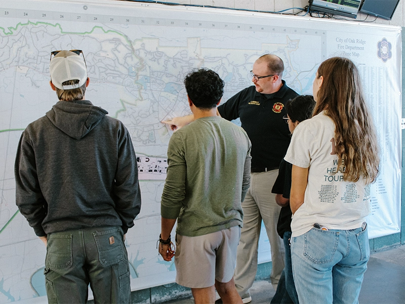
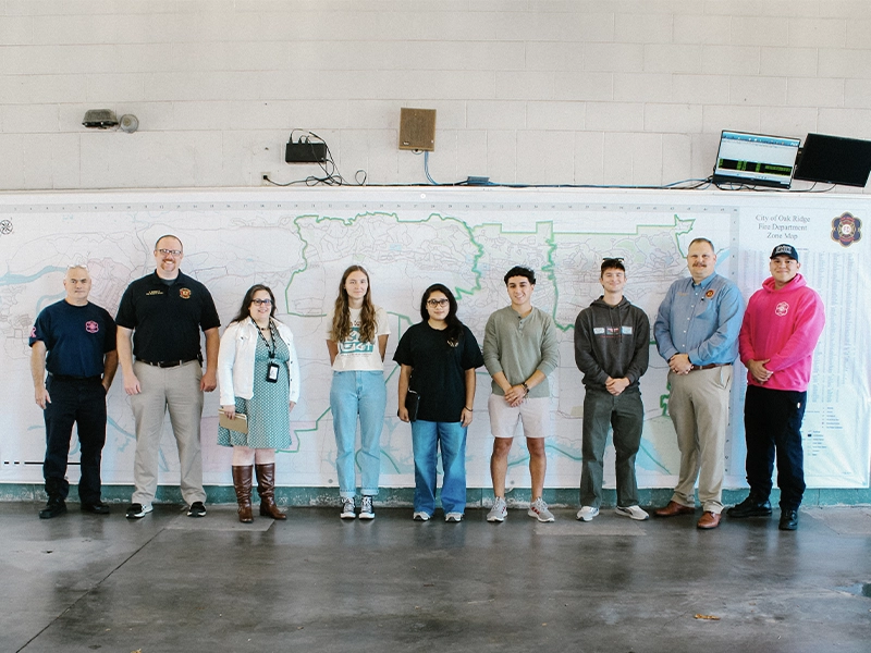
Recently, UT students visited Oak Ridge Fire Station 3 to see the 7-by-21-foot wall map that firefighters consult to choose routes, for example avoiding stoplights or disrupting a nearby elementary school.
Students will devise systems such as colors or symbols for quickly distinguishing elements and similar addresses, and that will become a template for the city.
Mapping Out a Career
The UT students are working with Amy Davis (‘05, ’12), GIS coordinator for the City of Oak Ridge, who also has received city approval for an intern to work on the project in the spring.
“My interest in maps, physical maps and geography, really started at a young age,” she recalled.
During family trips when they lived in Saudi Arabia, she served as the navigator, sitting in the passenger seat of the car with maps and giving directions to her father as they drove around the Middle East and Europe.
“I could spend hours just looking at and reading maps,” Davis said. “It wasn’t until I got into college that I realized, hey, I can actually do something with this. It’s not just a lifelong interest.”
Shortly after graduating from UT with her bachelor’s degree in geography, she served an internship with the Knox County Metropolitan Planning Commission, and then she worked full time at the First Utility District of Knox County while completing her master’s degree in geography.
She has worked with the City of Oak Ridge for a dozen years in the Information Services Department.
“I’m basically responsible for maintaining all of our software and all of our base data and making sure all the pieces fit together,” Davis explained, serving not only first responders but also utilities and the planning and development office.
Serving Communities in Knoxville and Abroad
In Geography 420 UT students gain real-world experience while working with community stakeholders on a project.
In previous years, students have worked with the Tennessee Geographic Alliance to create a digital atlas that can be used to develop geographic literacy in K-12 schools and built a dashboard to track housing evictions in Knox County following the COVID-19 pandemic, aiding efforts to provide resources to people.
The department also has a long-term partnership with the Beck Cultural Exchange Center, under which students have created maps that show Black businesses, churches, and houses that were destroyed or displaced by Knoxville development projects in the 1950s through 1970s. “This project has an important cultural significance, especially for Knoxville’s Black community,” said Román-Rivera, who has worked on the project with Chancellor’s Professor Derek Alderman, GIS Outreach Coordinator Michael Camponovo, and Rev. Reneé Kesler, the president of the Beck Center.
“One of the most important parts of this class is all of the nontechnical skills it helps develop that are essential for post-graduation success, like project management, stakeholder communication, managing deadlines, and professional communication,” said Camponovo, director of the department’s Geographic Information Science and Technology (GIST) program.
“For many of our students, this is their first experience leading a GIS project where a professor isn’t guiding them along,” he said. “Students really have to work with their community partner to flesh out their needs, brainstorm the end products, determine the feasibility of those products, and then figure out what data they need, what formatting the data needs, and the processing and analytical steps necessary to meet their end goals. This class is often where we see our students gain the most self-confidence.”
“I am very proud of all the work our students have done and continue doing in this course,” said Román-Rivera. “They are able to see the impact their work has on the community, and it inspires them to continue serving the community in different ways once they graduate. It helps them see their potential.”
In spring 2025 the class is going abroad. Students will work with several community stakeholders in Uvita, Costa Rica, on an environmental assessment, explained Román-Rivera, who chairs the Latin American and Caribbean Studies Interdisciplinary Program in the College of Arts and Sciences. The Geography 420 students will spend spring break in Costa Rica conducting field work.
By Amy Beth Miller